TOPOGRAPHICAL SURVEYS
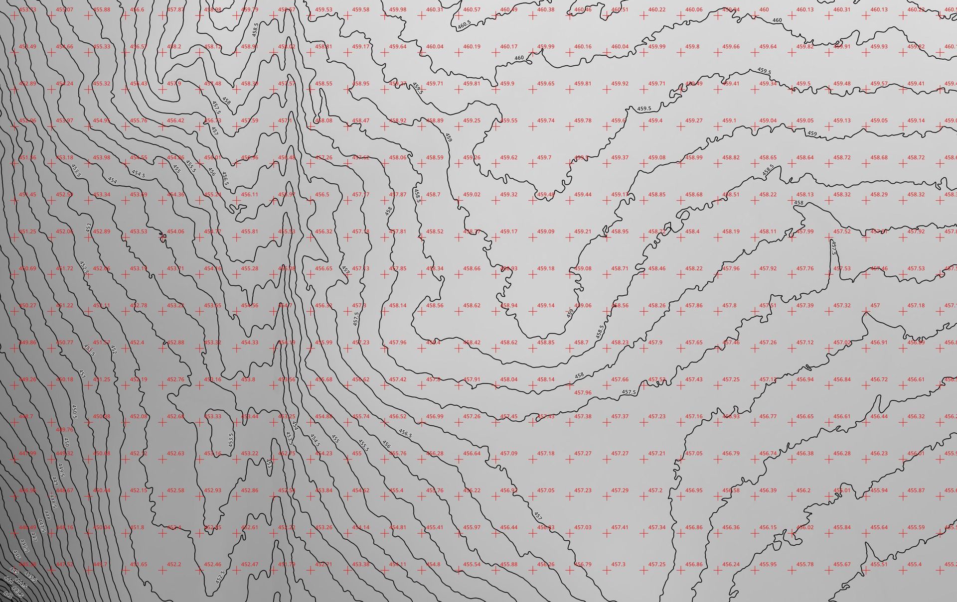
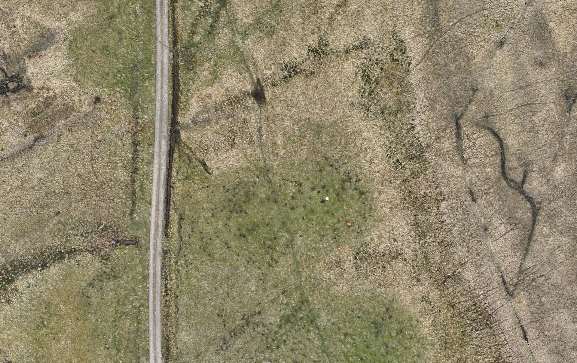
We provide high-accuracy topographical surveys using advanced drone technology. Our surveys capture detailed terrain and site data, supporting planning, construction, and development projects with precision and efficiency. Using high-resolution aerial imagery and photogrammetry techniques, we produce accurate digital terrain models (DTMs), orthomosaic maps, contours and spot heights to specified intervals and 3D site reconstructions.
Our drone surveys efficiently cover large areas, significantly reducing time and costs compared to traditional ground surveys while maintaining a high level of detail.
Whether for land development, engineering, or environmental assessments, our surveys provide reliable data to assist in informed decision-making. With our expertise and state-of-the-art equipment, we deliver fast, cost-effective, and detailed survey solutions.
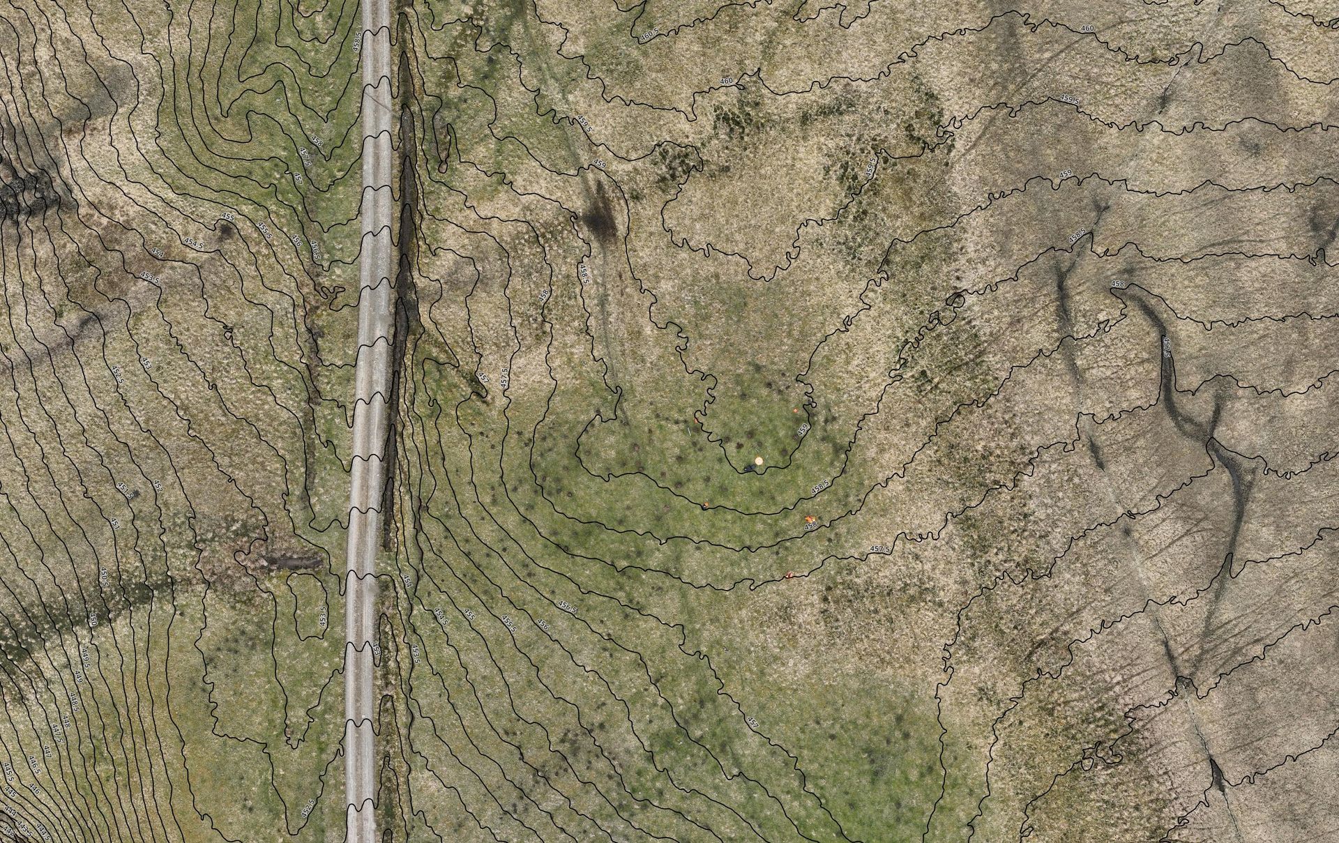
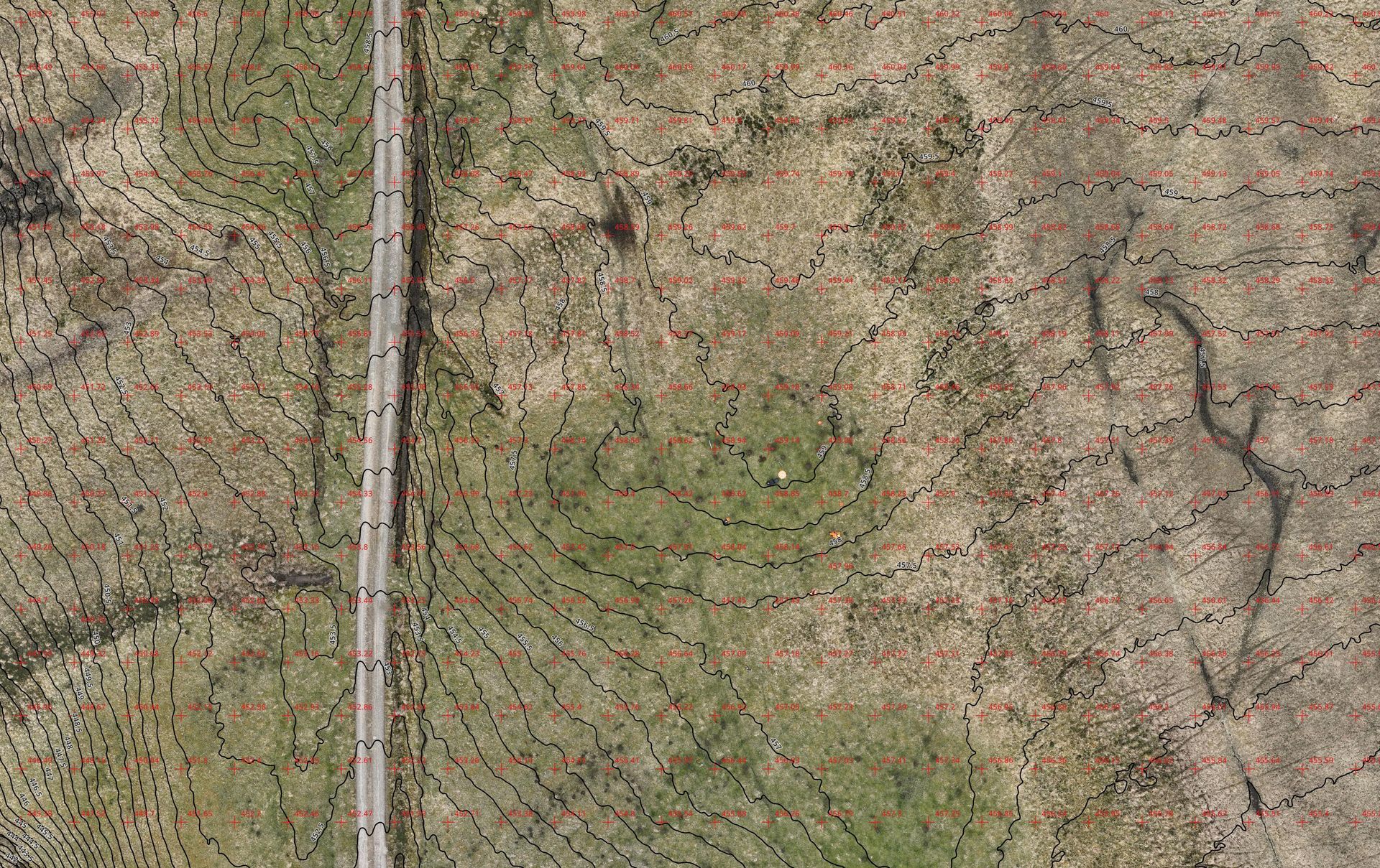

Contours on Digital Terrain Model